


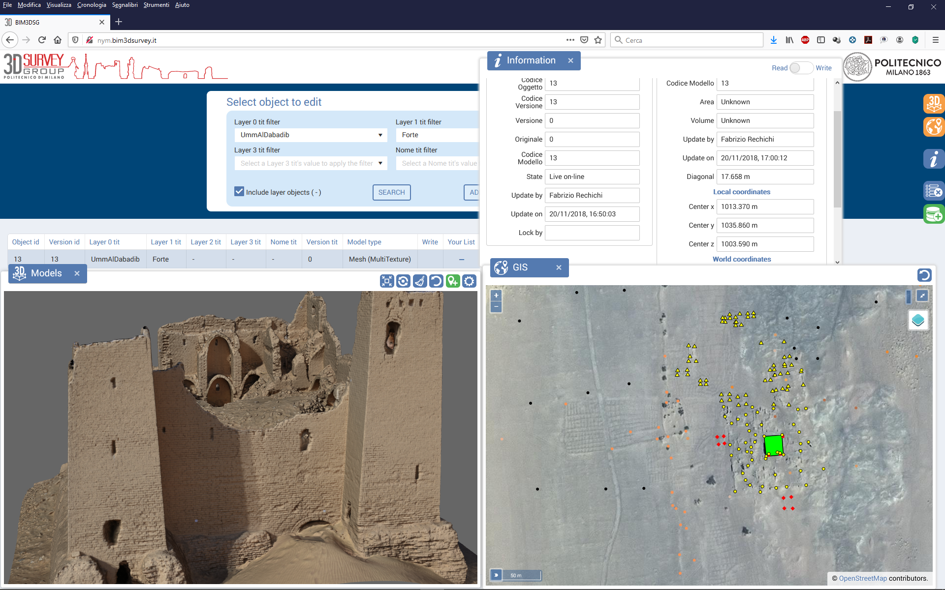
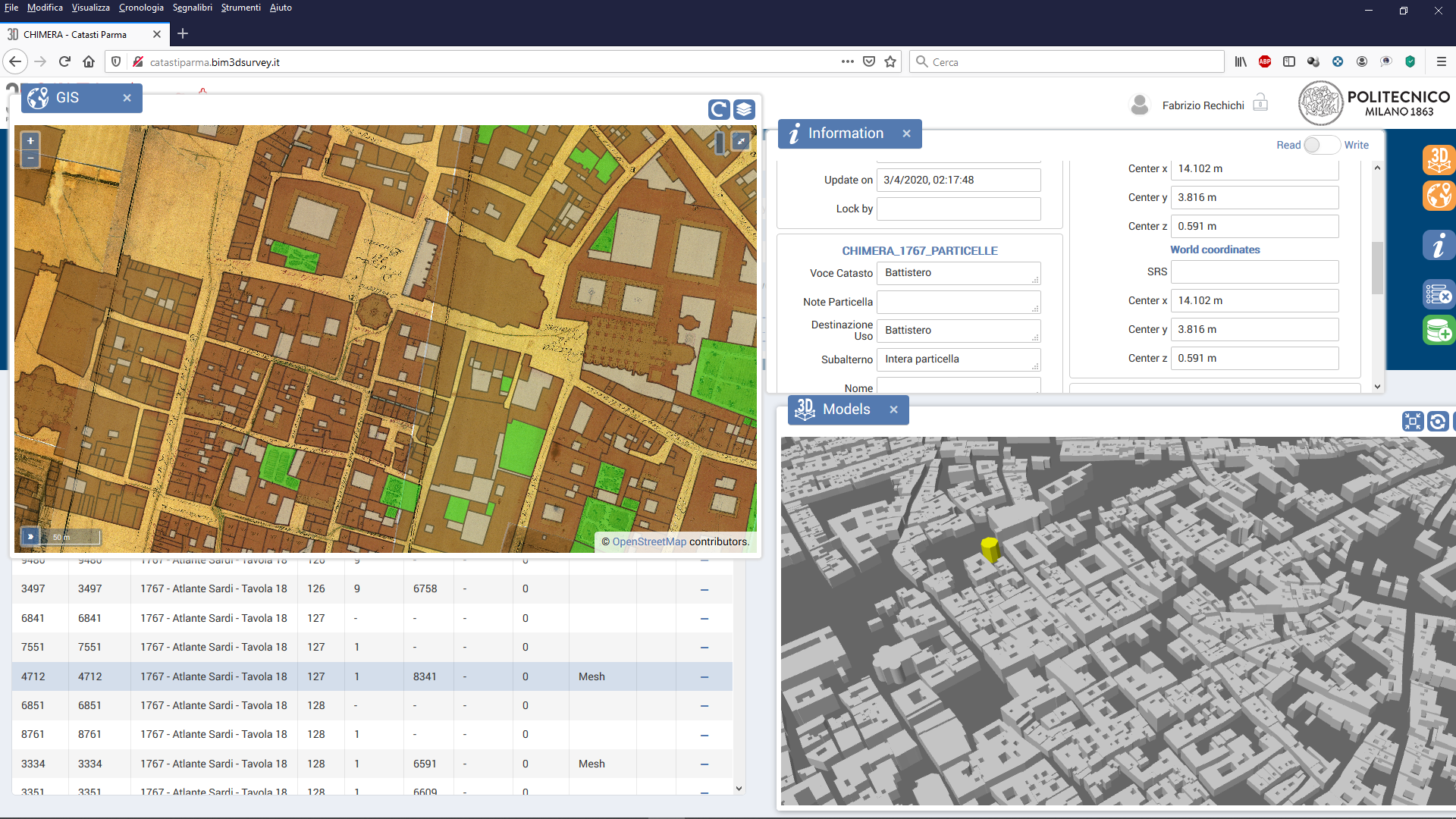
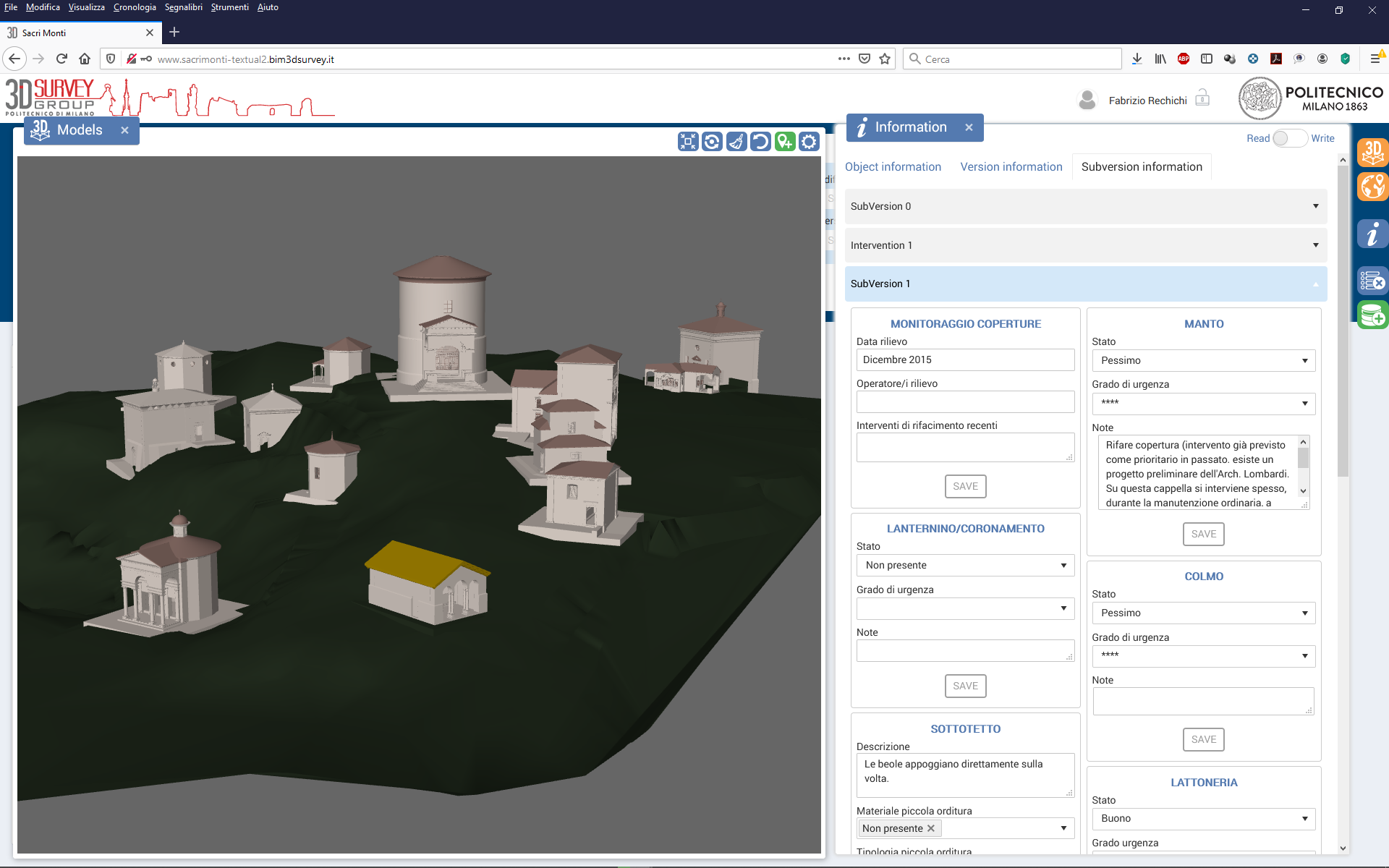
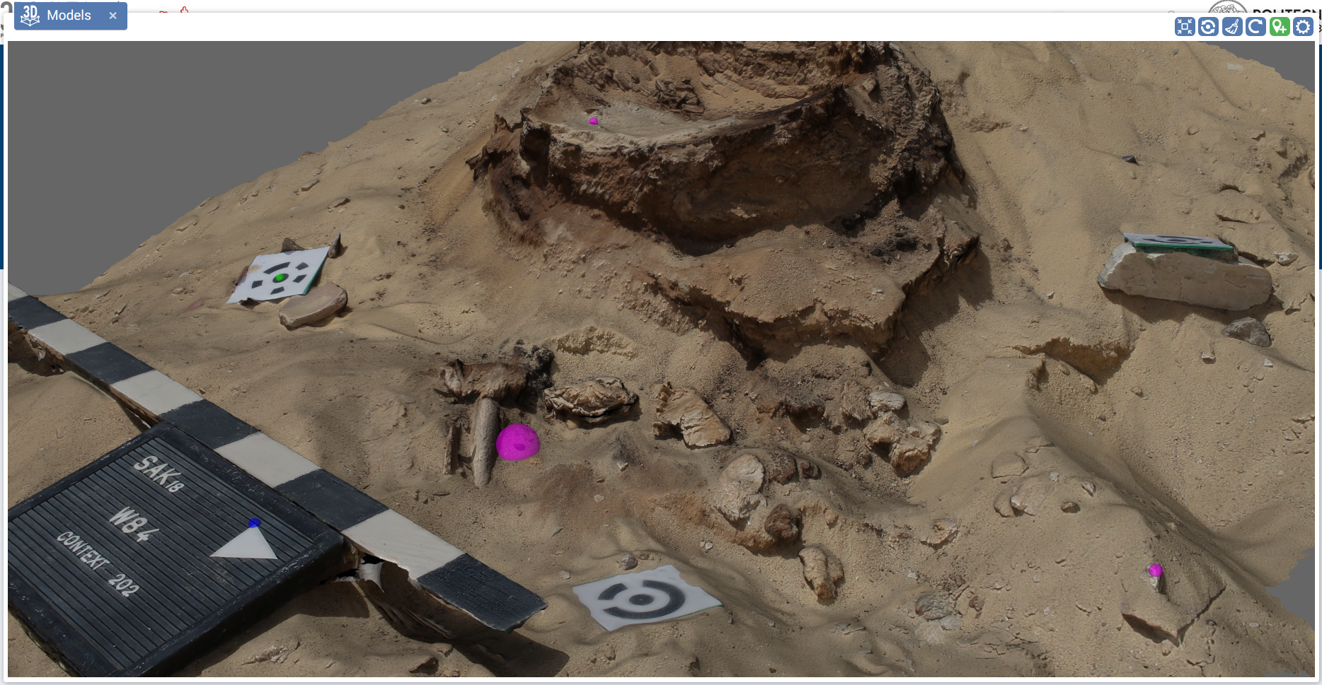
utilizzo concorrente dati integrati
approccio multi-scala
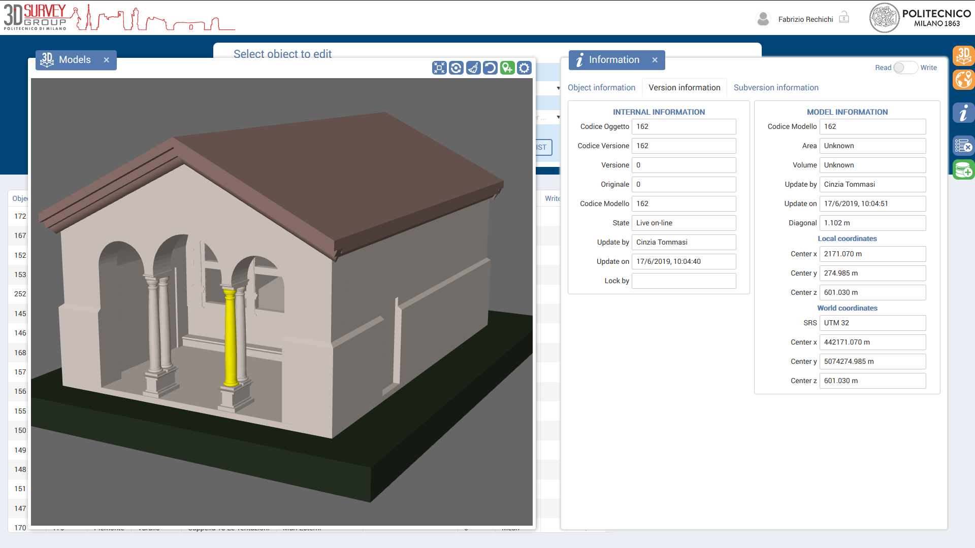
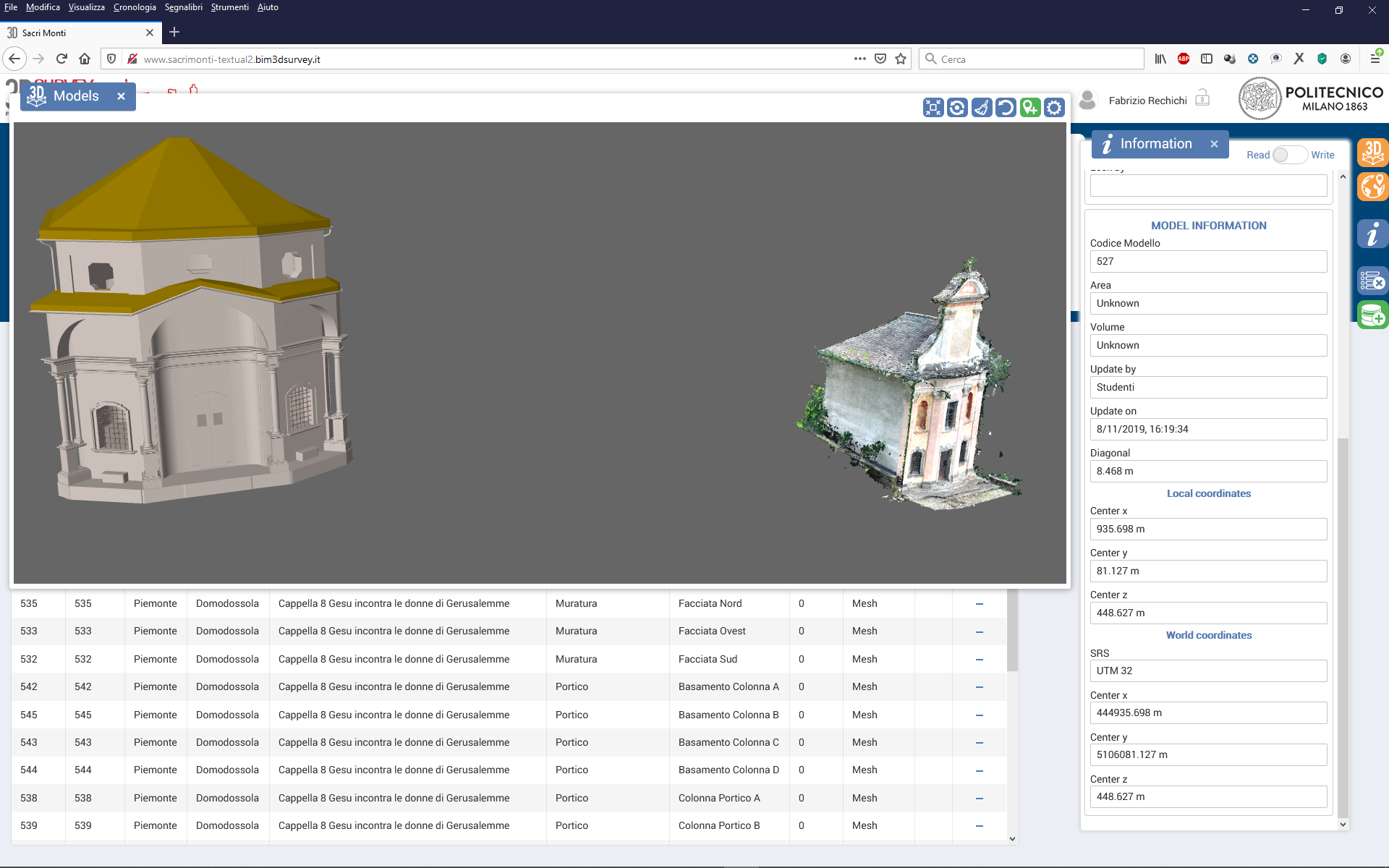
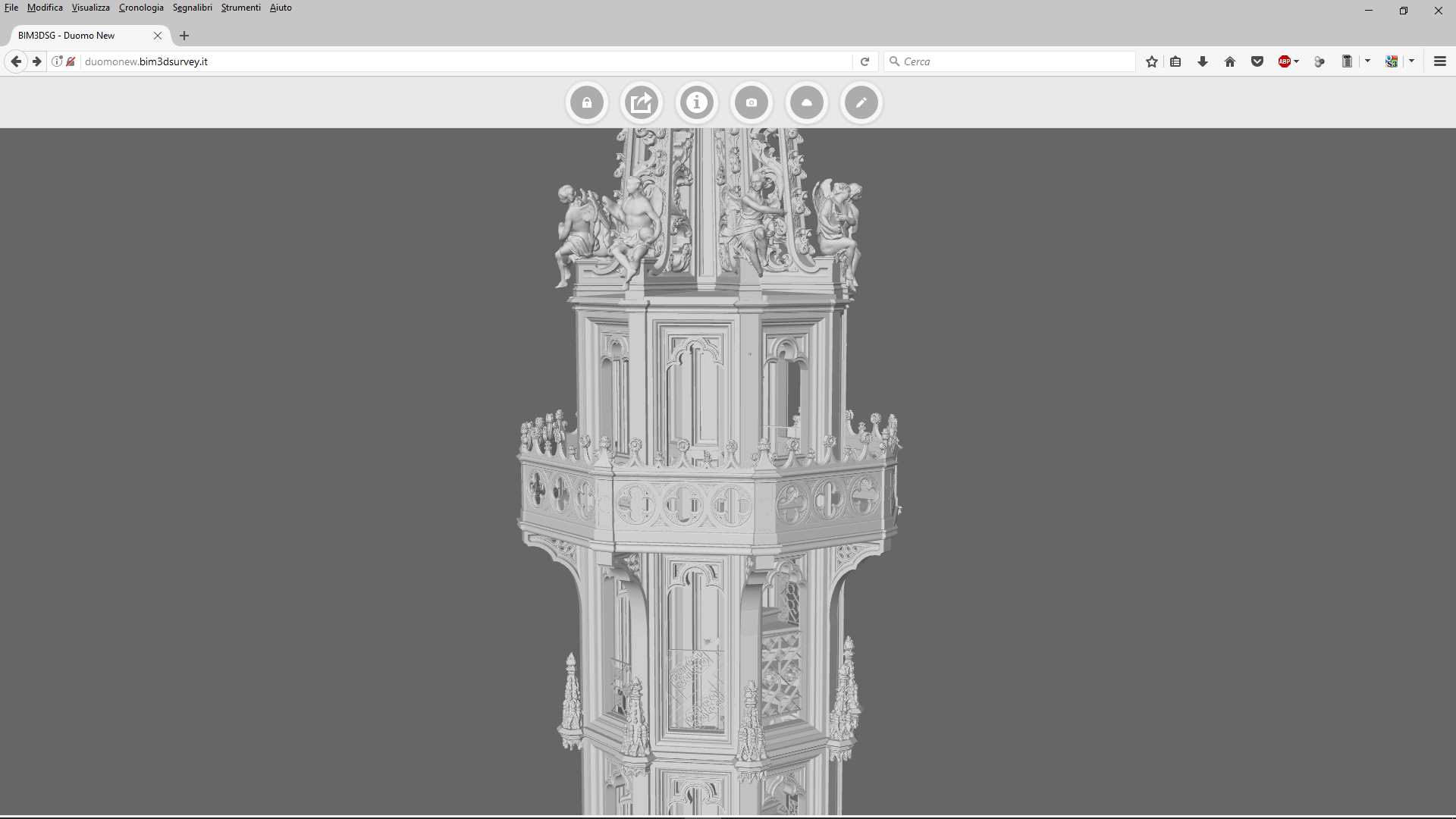
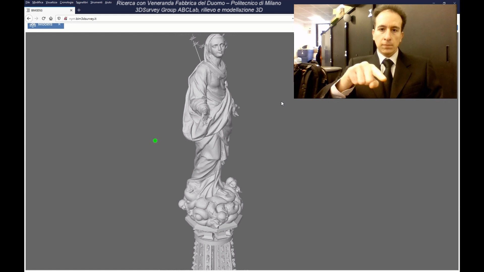
mesh
nuvole di punti
mappe 2D
dati raster
dati vettoriali
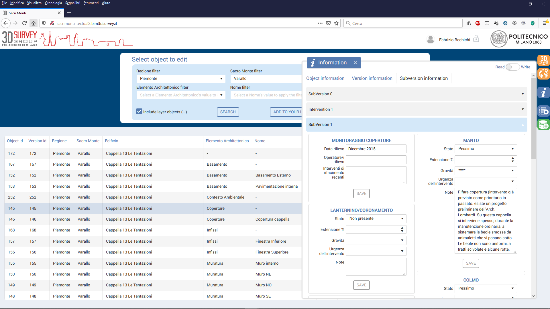
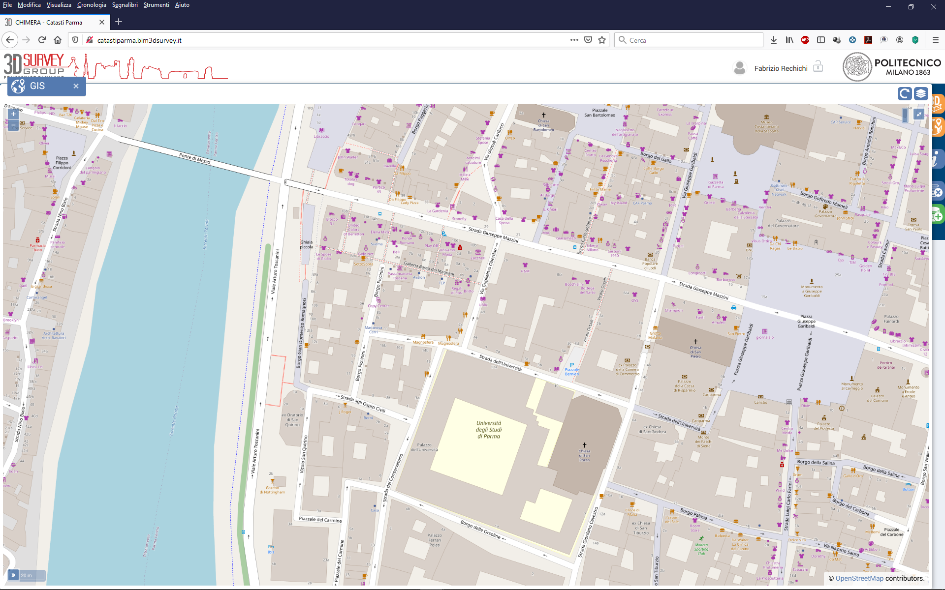
sistema informativo personalizzabile
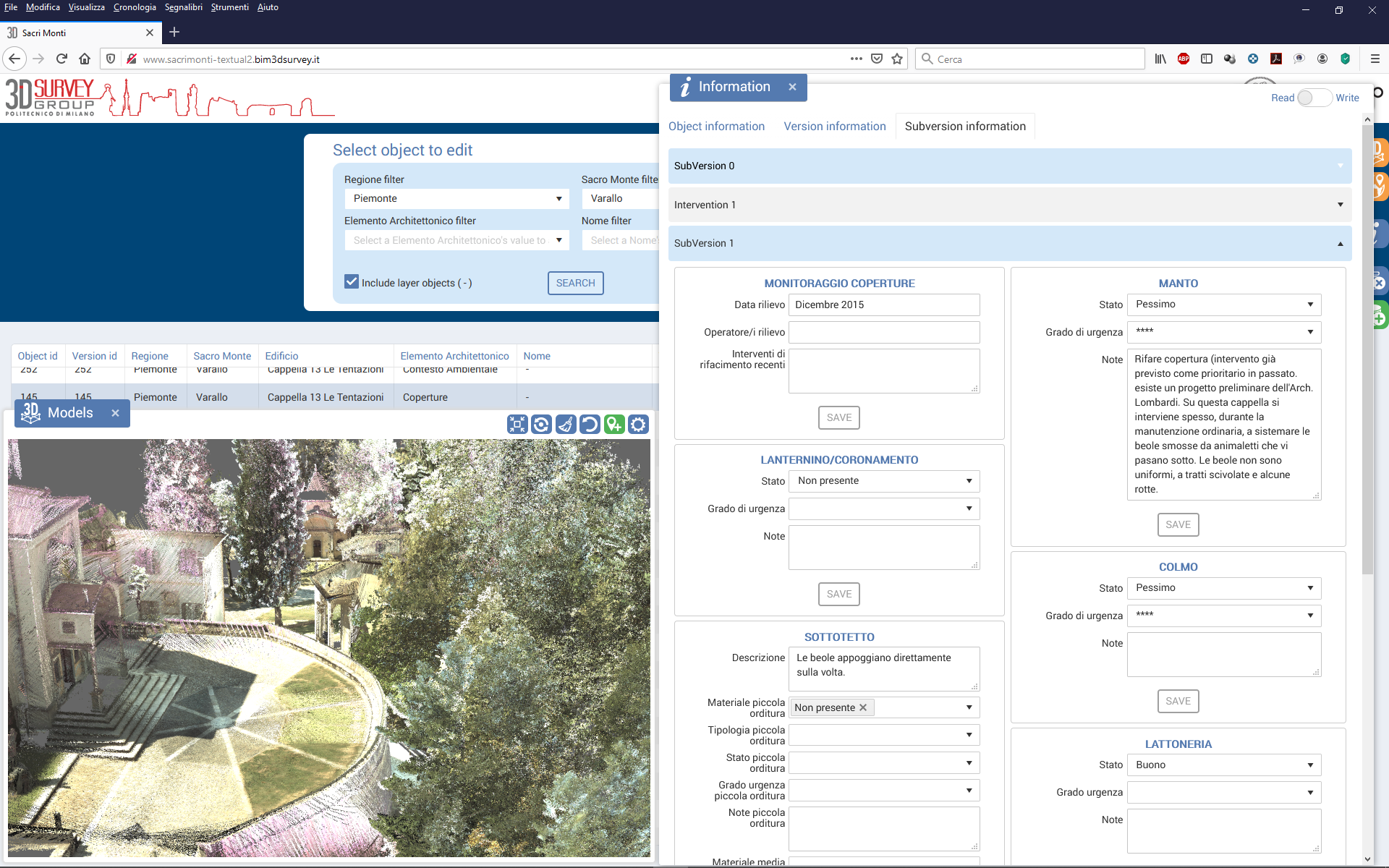
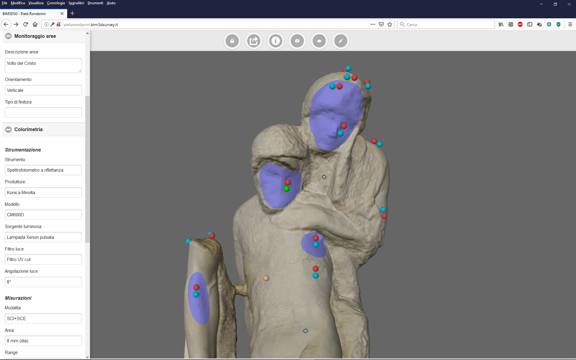
informazioni
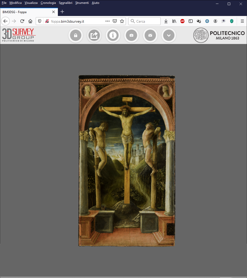
immagini, ortofoto
file
gestione manutenzione
gestione monitoraggio
gestione degrado
installazione
configurazione
manutenzione
assistenza
gestione
formazione
Saas (Software as a Service)
gestione cloud
sviluppo nuove funzionalità
personalizzazione
bugfix
integrazione piattaforme gestionali
consulenze ambito BIM
consulenze ambito GIS


Immagini provenienti dalla tesi di Dottorato "Definizione e implementazione di un modello informativo per i Beni Culturali"; vietata la riproduzione, tutti i diritti sono riservati.

Definizione e implementazione di un modello informativo per i Beni Culturali
Chimera: A BIM+GIS system for Cultural Heritage
Integration of Historical GIS data in a HBIM system
Towards an advanced conservation strategy: a structured database for sharing 3D documentation between expert users
Digital Workflow to Support Archaeological Excavation: From the 3D Survey to the Websharing of Data
CHIMERA is the result of the research carried out by the project L.I.F.E., funded by the European Research Council (ERC) under the European Union’s Horizon 2020 research and innovation programme (grant agreement No. 681673), directed by C. Rossi and carried out at Politecnico di Milano.
Il codice sorgente di CHIMERA è rilasciato con licenza BSD 2-Clause.
Codice scritto dall'Ing. F. Rechichi come Tesi di Dottorato (supervisore scientifico Prof. F. Fassi).
